Site · Locator
Show the locator map on a page
Last updated 18 November 2026Applies to Locator v6.0
Get your locations ready for the map your developers build.
When you finish this guide, every location has what a map needs: coordinates, a pin icon and the right status. Your developers then draw the map on your site from this data.
Note
The Locator stores your locations. It does not add a map to your site by itself. Your developers build the map and read the location data described below.
Add your Google Maps key
The Locator uses the Google Maps key from your site integrations. Set it up first: see Google Maps integration.
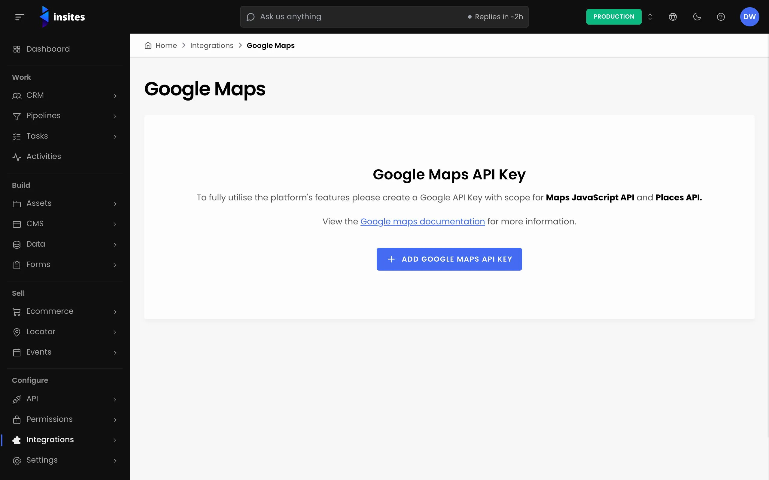
Without a key, the Search Address field on a location is turned off and shows Invalid Google Maps API Key.
Give each location its coordinates
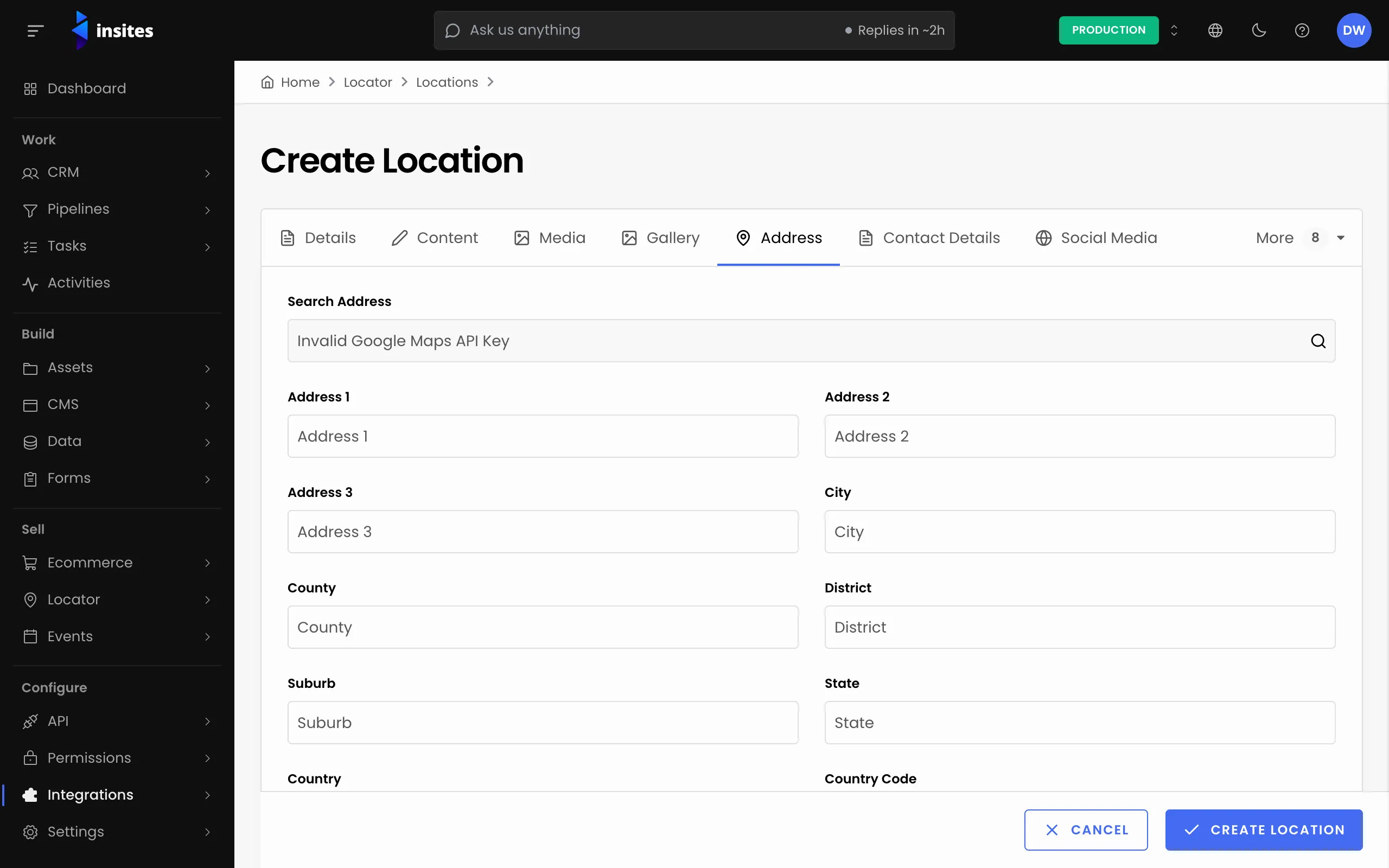
- Go to Locator > Locations and open a location.
- On the Address tab, type the address in Search Address and choose the match from the list.
- Click Save.
Choosing a match fills in the address fields. It also saves the latitude, the longitude and a GeoJSON point for the location.
For many locations, put the coordinates in the Latitude and Longitude columns of an import file. See Import locations in bulk.
Choose a pin and an image
On the Content tab, upload a Pin Icon to mark this location on the map. Add a Location Image if the map shows a picture when someone selects a pin.
Control which locations appear
- Enable the locations you want to show. In the locations list, use the Enable, Disable or Archive actions, for one row or for several at once.
- Use Start Date and End Date on the Details tab for a location that should only show for a while.
Agree with your developers that the map shows only enabled locations within their dates.
What your developers read
Each location is a record in the location table of the insites_locator module. These are the properties a map uses:
| Property | Holds |
|---|---|
location_name | The name to show on the pin |
latitude, longitude | The coordinates, stored as text |
geojson | A GeoJSON point or shape |
pin_icon, location_image | The uploaded pin and image |
status | enabled, disabled or archived |
start_date, end_date | When the location should show |
category_uuid | The location's category, for a filter on the map |
Developers read these records with a GraphQL records query on that table. See Data queries.